

Most people first encounter “3D” through entertainment: animated films that feel immersive, video games that simulate depth, or televisions and headsets that make images appear to leap from the screen. In all of these cases, 3D is about perception, giving the viewer a richer sense of space, distance, and movement.
Today, a similar shift is happening outside the living room. The same idea of understanding depth and motion in three dimensions is moving into the places people rely on every day: streets, transit hubs, campuses, ports, arenas, and stadiums.
In these environments, 3D is no longer about spectacle. It is about safety, efficiency, and better decision-making. Technologies such as LiDAR (Light Detection and Ranging) generate real-time, anonymized 3D data about how people, vehicles, and objects move through physical spaces. Instead of relying solely on static monitoring, these systems help operators and city leaders measure, analyze, and respond to complex activity patterns that are difficult to grasp with traditional tools.
The question now is, how does 3D vision look in smart spaces?
Understanding 3D in Smart Spaces: Digital Twins and Physical AI
At its core, 3D vision in smart cities means using technologies such as LiDAR to generate a precise, depth-aware view of the physical world. LiDAR units emit pulses of laser light and measure how long it takes for the light to return. From this, they build an accurate 3D representation of a space: where objects are, how they move, and how they interact, without identifying individual people.
On its own, this 3D data is valuable. It can show how many people crowd onto a platform, how often vehicles block a crosswalk, or where cyclists and cars most frequently cross paths. But the real power comes when this data feeds into more advanced systems, especially digital twins and what many in the industry now call physical AI.
In a city or venue context, a digital twin is a dynamic, continuously updated virtual model of a real environment. Unlike a static 3D map, it reflects current conditions: traffic volumes, pedestrian flows, congestion hotspots, and typical movement patterns over time. LiDAR is a foundational data layer for digital twins because it captures not only the geometry of streets and spaces but also how they function under real-world conditions.
When LiDAR-equipped corridors, hubs, or venues stream data into a digital twin platform, planners and operators can simulate “what if” scenarios before changing signals, markings, or infrastructure in the real world. They can test how a new bike lane might alter turning movements, model how queues behave if a lane is removed, or explore how an updated gate strategy will affect crowding at a large event.
Physical AI builds on this foundation by shifting from understanding to action. It describes systems that use sensor data to support real-time or automated responses in the physical environment. In traffic management, physical AI can use 3D data to adapt signals on the fly, prioritize buses running late, or recommend temporary speed reductions when pedestrian volumes spike.
Seyond’s work as a California-based LiDAR company spans this entire chain. Its LiDAR sensors generate the high-quality 3D data that digital twins rely on, while its background in autonomous mobility and intelligent infrastructure positions it close to emerging physical AI systems that act on that data. The aim is not just to describe what is happening in smart spaces, but to enable those spaces to interpret changing conditions and adjust their operations in ways that are safer, more efficient, and better aligned with how people actually move and behave.
3D Vision In Action
On Stadiums and Arenas
If the idea of 3D vision feels abstract, stadiums and arenas make it tangible. On game days or concert nights, thousands of people pack into a venue, queue at entrances and security checkpoints, and then disperse again—often while vehicles are circulating in surrounding streets and parking areas. Managing safety, experience, and operations in these conditions is a logistical challenge.
Arrays of LiDAR sensors placed across a venue and its perimeter can generate anonymized 3D data about crowd density, speed, and direction. Instead of relying solely on fixed camera views or manual observations, operators gain a more complete picture of how people move on critical spots such as gates, corridors, stairwells, and seating tiers. They can measure where queues are forming, where movement is slowing, and whether certain routes are becoming unexpectedly congested, without resorting to identity-based monitoring.
Better insight into how people actually move supports smoother entry processes and more efficient concession operations, since staffing and cleaning can be aligned with areas of highest use. Early detection of high-density areas allows staff to redirect flows, open additional entrances, or adjust signage before issues escalate. From a crowd flow management and safety perspective, 3D data helps identify unusual movement patterns, such as someone entering a restricted area or moving against the dominant flow, without relying on facial recognition.
Seyond’s long-range LiDAR can cover approach roads, drop-off zones, and large parking areas, while medium- and short-range sensors can focus on concourses, stairwells, and loading docks.
Here, digital twins and physical AI come together: by feeding LiDAR data into a venue’s digital twin, operators can replay crowd movement patterns after events, test alternative entry strategies, and refine emergency plans in a virtual environment. During live events, physical AI systems can use the same 3D inputs to adjust gate allocations, reroute fans, or trigger announcements.
Even at the planning stage, architects and engineers can use these digital twin insights to shape stadiums and concert halls around real movement patterns rather than assumptions. Over time, this supports more proactive infrastructure planning and sharper investment prioritization, directing budgets toward the design features and circulation upgrades that deliver the greatest gains in crowd safety, comfort, and operational efficiency.
Transit Hubs, Campuses, and Other Everyday Smart Spaces
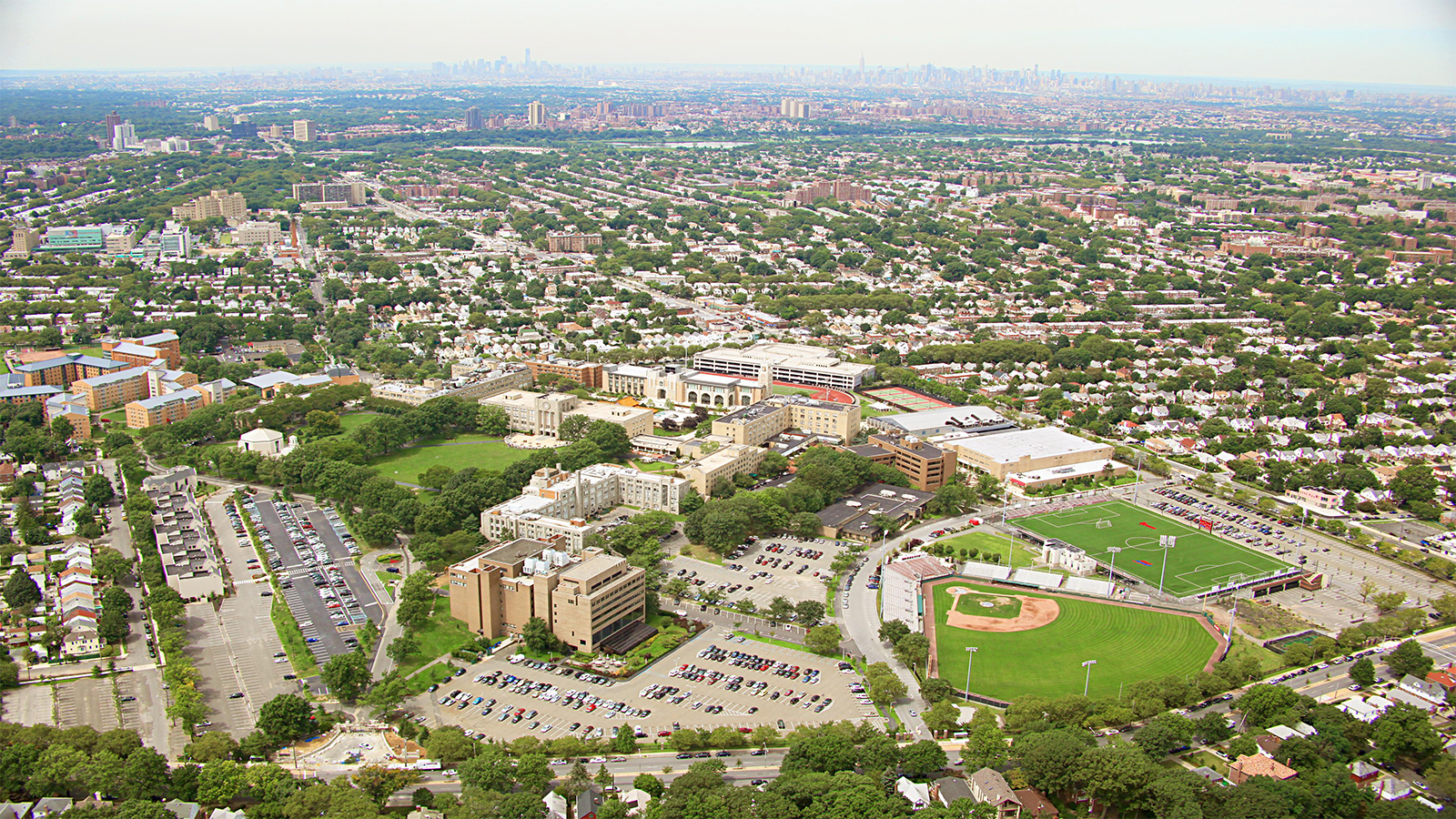
Outside of marquee events, some of the most complex movement patterns appear in the semi-enclosed spaces people use every day: rail and bus terminals, university campuses, large business parks, ports, and mixed-use developments. These are smart spaces where walking, cycling, micromobility, public transport, and service vehicles intersect in constantly shifting ways.
In a major rail or bus terminal, for example, operators need to understand how crowds build on platforms, in concourses, and at entrances. LiDAR can measure crowd density, direction of movement, and dwell times without capturing faces or personal identifiers.
On a university campus or corporate site, 3D sensing can highlight how people actually move compared with how planners expected them to use paths and entrances. It can reveal shortcuts across open areas, pressure points at certain crossings, or locations where vehicles and pedestrians mix more than anticipated.
Operations teams can use this anonymized 3D data to redirect staff, adjust digital signage, or open additional gates before conditions become uncomfortable or unsafe. It also strengthens long-term planning: by revealing where crowds consistently build and how they move, the same data supports predictive safety analysis and more precise deployment of staff and barriers, helping venues shorten wait times, reduce the risk of crowd-related incidents, and optimize overall operational efficiency.
Seyond’s positioning as a provider of “image-grade” 3D sensing matters in these environments. Smart spaces often feature multiple levels, pillars, tight corners, and constantly changing lighting conditions. High-resolution LiDAR helps separate objects that might otherwise be confused, such as a suitcase versus a person, or distinguish between a scooter and a pedestrian.
That level of detail allows operators and their software partners to move from rough estimates to higher-confidence decisions. Combined with appropriate analytics, the same 3D data can feed digital twins of hubs and campuses and support physical AI systems that, for example, slow escalators, open extra barriers, or trigger alerts when certain thresholds are crossed.
On Intersections and Corridors
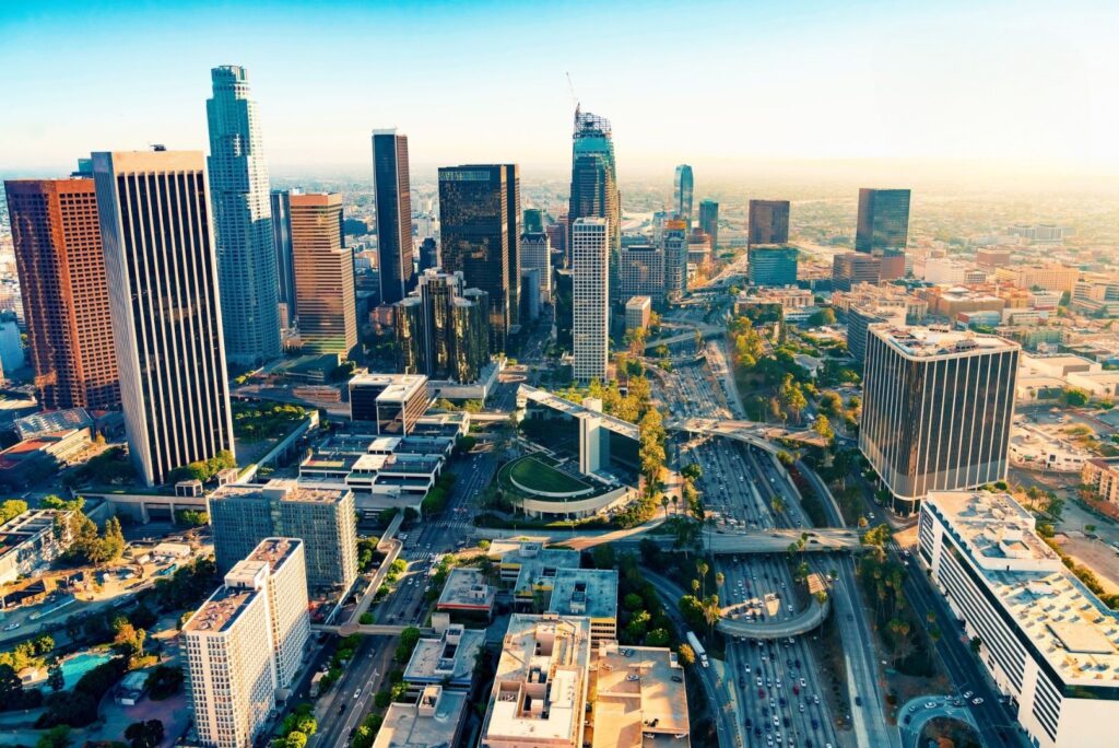
A city intersection at rush hour is a dense web of movement. Cars and delivery vans edge forward, cyclists filter between lanes, pedestrians step off curbs, and buses try to stay on schedule. For decades, cities have relied on tools such as inductive loops under the pavement or fixed-timing signal plans to manage this complexity. These tools can count vehicles but often say little about how different road users interact or where risk truly builds up.
LiDAR-based 3D vision offers a different foundation. Mounted on poles or gantries, LiDAR units emit pulses of laser light and measure how long it takes the light to return. From this, they generate a detailed, anonymous 3D representation of the environment.
At an intersection, this means that every road user is part of a precise spatial pattern. Systems can estimate speed, trajectories, and relative positions without identifying individuals. Real-time 3D data can support adaptive signal control that responds to what is actually happening, rather than to what was expected when a timing plan was written. Signals can extend green time to clear growing queues or hold red longer to protect someone who is still in the crosswalk.
Over time, the same data reveals where near-miss incidents cluster, which consistently lead to risky conflicts, and how different times of day affect a junction’s safety profile. For city engineers, this becomes their reference for proactive infrastructure planning, redesigning layouts, adding pedestrian refuge islands, or enhancing cycling infrastructure where it will have the greatest effect.
Companies like Seyond have tailored their 3D LiDAR portfolios to this reality. By offering sensors across ultra-long, long, medium, and short ranges, Seyond enables cities to use a consistent technology stack, from high-speed approaches into the city to dense urban intersections and pedestrian-heavy segments.
The same data that enables adaptive control also serves as input for richer planning tools, including digital twins that model how entire corridors behave over time and physical AI systems that automatically adjust operations.
You Cannot Address What You Do Not Understand
There is a simple idea underpinning all of this: cities and operators cannot effectively address problems they do not fully understand. Without accurate, granular insight into how people and vehicles move, decisions about safety, design, and investment often rely on snapshots, estimates, or intuition. 3D vision, powered by LiDAR and shaped by digital twins and physical AI, changes that equation.
For Seyond, this is an extension of its core mission: enabling systems to understand the physical world with greater clarity and reliability. The company’s work in 3D LiDAR, digital twins, and physical AI is part of a wider shift toward smart spaces that do more than connect devices. They interpret real-world activity and support decisions that improve how those spaces function.
As 3D sensing moves from vehicles into cities and venues, it is becoming an infrastructure layer that makes everyday spaces more efficient and helps key leaders in better, more effective decision-making.
The emphasis is not on the technology itself, but on outcomes: fewer near-miss incidents, better protection for vulnerable road users, more comfortable pedestrian movement, smoother commutes, more comfortable and secure events, and more targeted use of infrastructure budgets.