


U.S. Marines assigned to Joint Task Force-Southern Border have successfully tested a new command-and-control system that combines communications technology, drone feeds, and artificial intelligence to overcome dead zones in mountainous terrain. The August 2026 demonstration in California bridged a critical operational gap that has long hampered border patrol effectiveness in areas where radio signals fail to reach ground units.
Operating in remote border regions presents a persistent challenge: steep mountains and deep valleys block line-of-sight communications and severely degrade radio performance. Marines from 1st Battalion, 7th Marine Regiment, and Combat Logistics Regiment 17 identified this problem during routine operations and developed an integrated solution using off-the-shelf technology.
The test deployed Mobile Ad hoc Network (MANET) radios to build a meshed communications network capable of operating where traditional signals fail. “As nodes are added to a meshed network, it gets faster and more effective,” said Maj. Michael Calnan, regimental communications officer. “This capability lets every connected radio talk to all others, regardless of terrain or other communication obstacles.”
How The System Works
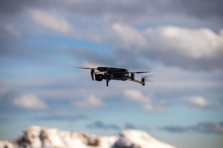
Once the MANET network was established, Marines launched two small unmanned aerial systems, the Stalker VXE30 and Skydio X10, in areas where drones previously could not operate. The live video feed from these aircraft was pushed to Android Tactical Assault Kit (ATAK) devices carried by ground patrols, creating a direct link between aerial observation and tactical units on the ground.
The demonstration integrated three separate capabilities into a single system: resilient communications, live drone video, and AI-assisted monitoring. An artificial intelligence overlay enhanced target recognition to identify individuals, vehicles, and other items, configured to match patrol needs.
For individual Marines, the system eliminates the need to manage multiple disconnected platforms. A patrol member can now view live aerial footage, receive AI-aided alerts, and maintain constant contact with headquarters through a single portable device. Master Sgt. Steven Baez, communications chief with CLR-17, described the breakthrough: “The key technical achievement was establishing a complete command-and-control chain connecting the Starshield terminal, laptop, Compass service, and sUAS, then transmitting the information to tactical users on the ground.”
Expanding Border Operations
The proof-of-concept test has prompted communications Marines to plan broader deployment across the southern border mission. The next phase aims to reduce communication dead zones and expand patrol access to live drone feeds, real-time information, and AI-assisted identification tools to enhance situational awareness.
This work supports Operation Ardent Vanguard, the military effort to provide unique capabilities to protect territorial integrity along the U.S.-Mexico border. U.S. Northern Command coordinates with the Department of Homeland Security and U.S. Customs and Border Protection within defined authorities to deliver military technology and expertise to the border mission.
The system’s appeal lies in its use of commercially available components rather than custom military hardware. This approach allowed the unit to experiment with emerging technology and develop tailored solutions for each location based on specific operational requirements. Scaling the capability across longer stretches of the border depends on securing additional equipment and training personnel to operate the integrated system across different terrain types and patrol scenarios.
The demonstration represents a practical response to a longstanding operational constraint. Rather than managing disconnected systems or operating with communication gaps, Marines can now streamline decision-making at the patrol level while keeping higher command fully informed. The integration of drone surveillance and AI detection into a single mobile platform marks a significant step toward improving visibility in the challenging topography that defines much of the southern border region.